
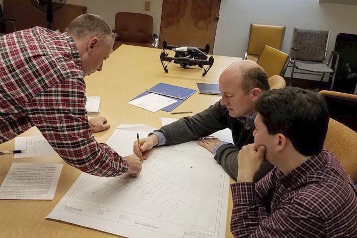
Advancing technology is used for creative problem solving in sewer systems. Walden Environmental Engineering and Harkin Aerial began using drones with thermal cameras to locate leaking underground water and sewer piping. They discovered that drone technology is an affordable and powerful alternative to traditional aerial imaging. It can also significantly reduce the time to generate site plans and obtain relevant data.
How it’s Done
Walden uses a team of photogrammetry and LIDAR professionals to create 3D visualizations and measurements for sites. It’s a process that works in areas typically unsuitable for traditional aerial mapping.
Drones in Engineering: Program Development
The team developed an expertise in aerial thermography, employing ITC-rated Level II Thermographers to perform thermal inspections from the air. Walden applied the team’s expertise towards drone research and continued to find efficiencies from there.
Moving Forward
Walden updated their environmental engineering services to include this advancing technology. They also recently released a guide that offers an in-depth look into the use of drones for environmental applications.
- Aerial Photography and Video
- GIS Data Acquisition
- Aerial Mapping: DEM, Contour, and Orthomosaic Generation
- Landfill Modeling and Mapping
- Watershed Mapping and Analysis
- Photogrammetry and 3D Point Cloud Generation
- LIDAR and Laser Scanning
- 3D Volumetrics + Cut and Fill Calculations
- Thermal Imaging and Inspection
- Infrastructure and Industrial Inspections
- Water Leak + Illicit Discharge Detection
- Air Quality Monitoring + Gas Detection
Drone-mapping services are available locally through Walden’s Midwest office in Fort Wayne.